
What is this thing?
This is a passion project of Cairn Cartographics. Three of our favorite things in this world are Print Maps, Public Lands, and Public Radio. Our happy place is heading into a favorite spot on our beloved public lands with a weekend of adventure ahead while getting the evening news via public radio.
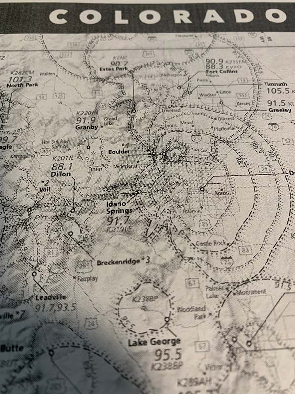
Airwaves
There is something beautiful about radio waves. Beaming out from our cities, towns, and rural hamlets, they are invisible but able to carry such rich information--tiny changes in frequency give you completely different information! Incredible! In an era where seemlingly everything requires an internet data connection, the simplicity and democratization of radio waves is something we should not take for granted. A 10 dollar radio gives you the same access that the most expensive 'smart' internet device provides.
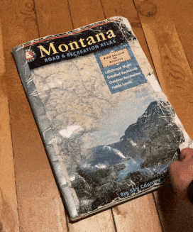
Print for your road atlas
These maps are all 10x14.5" and will fit perfectly in a Benchmark (our favorite) or DeLorme road atlas/gazatteer. Ideally you have access to a printer than can handle 11x17 sheets (B&W is fine). If you don't have an 11x17" printer, it can be scaled as well and it still pretty legible. Even a B&W laser printer is legible.
1. Tape it in your atlas 2. 11x17 inkjet is preferred 3. scaled to 8.5x11 on black and white laser
Avenza Maps
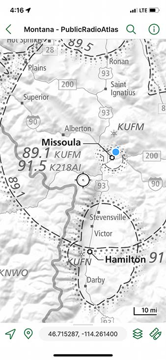 While we never leave home without our trusty atlas, it's undeniable that the computers in our pockets are useful. With the free avenza maps app, you can access these same maps (also free) within the Avenza maps store. You'll get your device GPS location as a blue dot so you can actually see the FM contour that you are traveling through.